


9 km | 16 km-effort

Les Hautes Alpes à découvrir ! GUIDE+


FREE GPS app for hiking
 SityTrail
IGN / Geographical institutes
SityTrail World
The world is yours!
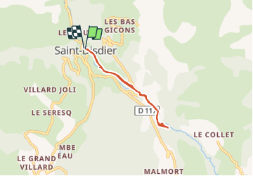
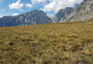
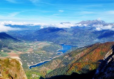
Trail Walking of 5.2 km to be discovered at Provence-Alpes-Côte d'Azur, Hautes-Alpes, Le Dévoluy. This trail is proposed by Camping Les Rives du Lac.
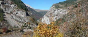
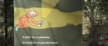
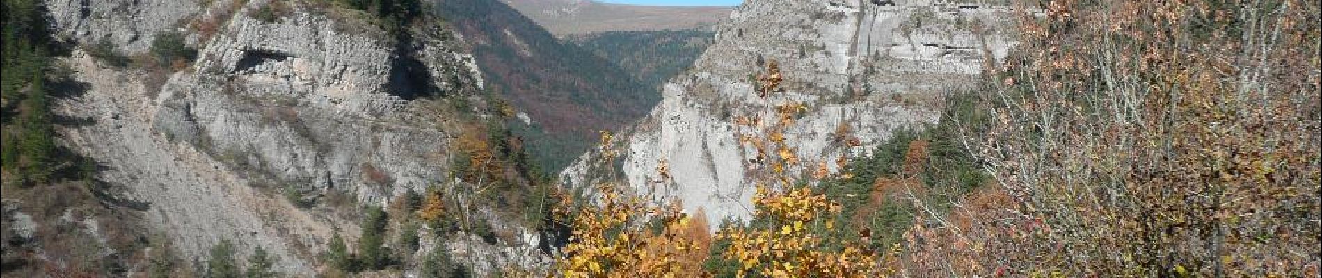
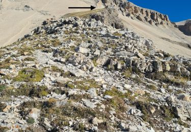
This hike has a difficulty which is the climb with ladders at the Bans well. But this is the interest that can entertain children! You can take the opportunity to visit Mother Church. The Bans well is also very popular with speleologists. Feel free to try this activity (see the link below)!


Walking
Walking

Walking
Walking
Walking
Walking
Walking
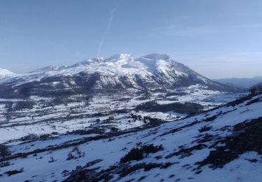
Touring skiing
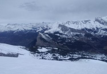
Touring skiing
Superbe randonnée! Effectivement un peu physique sur la fin mais cela vaut vraiment le coup d’œil. Réalisée en 3 h avec enfant de 6 ans mais doit être bien surveillé… magnifique paysage!